
Moorpark ZIP Code Coverage
The verified general-delivery ZIP for Moorpark is 93021. A second number appears in a narrow postal-routing context, but it should not be drawn as a second ordinary neighborhood delivery area. ZIP assignment follows mail routing, while parcel jurisdiction follows a city or county boundary. The table keeps those two systems separate.
| ZIP | Areas Covered | Post Office | Notes |
|---|---|---|---|
| 93021 | Incorporated Moorpark and postal territory around it, including development and unincorporated edges as USPS assigns | Moorpark Post Office, 100 W. High St., Moorpark, CA 93021-1113 | Only verified general Moorpark ZIP; postal name does not prove city jurisdiction |
| 93020 | Specialized routing for P.O. Box 250, Moorpark, CA 93020-0250 | Moorpark routing; physical/payment address 6767 Spring Road, Moorpark, CA 93021 | PO-box quirk only, not a second ordinary neighborhood ZIP |
No authoritative source located a second ordinary neighborhood ZIP for Moorpark, a local ZIP split, or a renumbering event. That is why the Moorpark ZIP code directory keeps 93020 as a routing quirk rather than a second district. Third-party ZIP lists should not turn 93020 into a mapped residential district. Verify the exact address with USPS before using a ZIP as a search key.
The 93020 Moorpark Routing Quirk
The specialized 93020 use is tied to a P.O. Box, not a second ordinary neighborhood. Ventura County Water & Sanitation uses P.O. Box 250, Moorpark, CA 93020-0250, while its physical and payment address is 6767 Spring Road, Moorpark, CA 93021. That contrast shows why a postal code can be a routing instruction rather than a parcel location.
The Moorpark Post Office is listed at 100 W. High St., Moorpark, CA 93021-1113, phone 805-552-0340. Retail hours are Monday-Friday 9 a.m.-5 p.m. and Saturday 9 a.m.-2 p.m. Verify current hours and service details before making a trip or sending a record request.
The official USPS ZIP Code Lookup is the proper first check for an address or city entry.
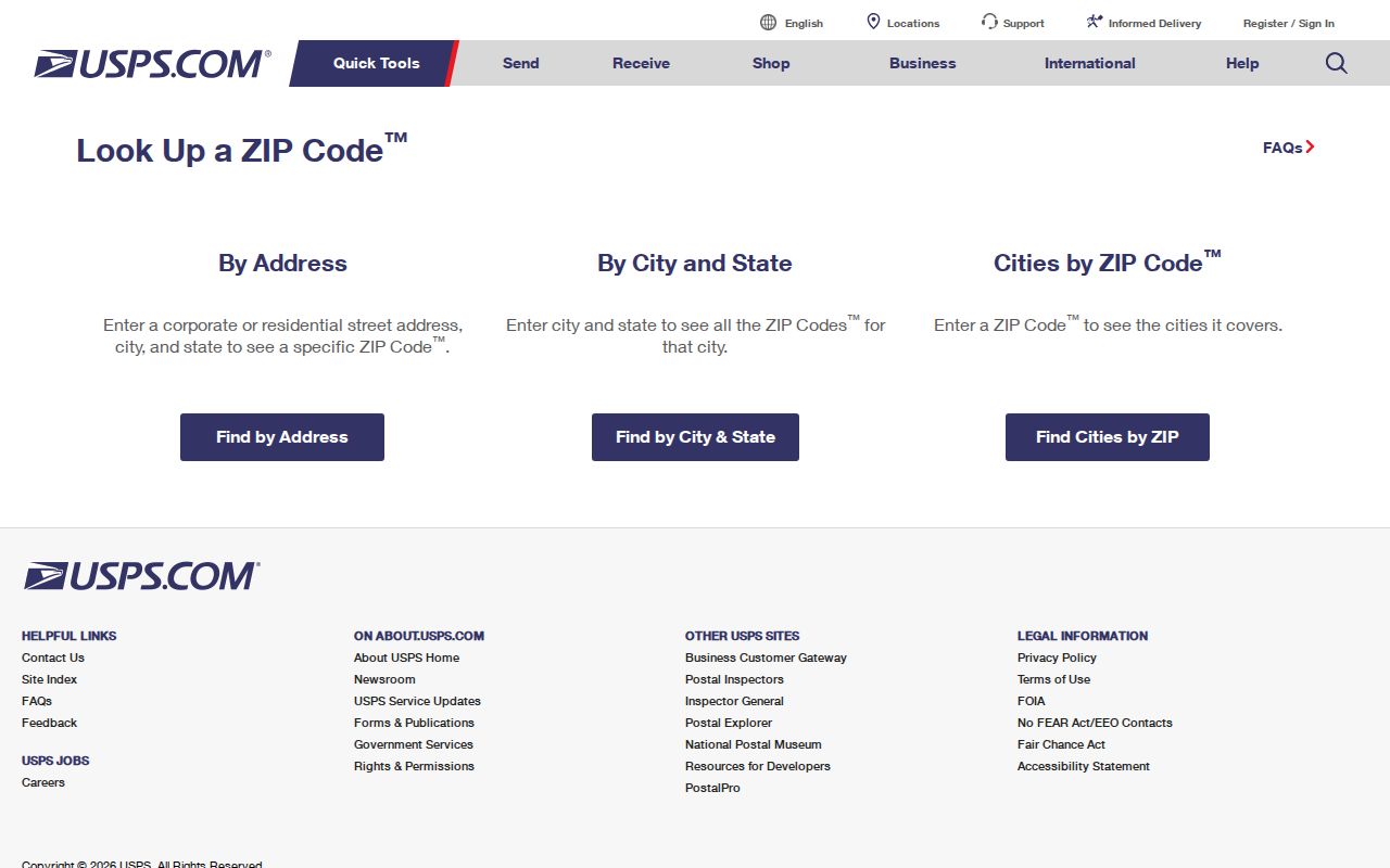
A USPS result answers the delivery question. It does not decide whether Moorpark City or Ventura County holds a permit, planning file, or parcel record.
USPS, County View, Then City GIS
A reliable Moorpark ZIP code workflow has three handoffs. USPS confirms the label. Ventura County County View establishes the parcel and jurisdiction. Moorpark City GIS and the zoning or permit custodian then supply local planning context when the parcel is inside the incorporated city.
- Enter the complete address in USPS and save the returned ZIP and ZIP+4 when shown.
- Enter the same address in Ventura County County View, select the matched parcel, and copy its APN and jurisdiction.
- Compare the city-boundary, zoning, and general-plan layers. Use Moorpark City GIS and city planning or permits only when the jurisdiction supports it.
- For an unincorporated edge, use the county planning keeper. For a city parcel, use Moorpark zoning, permit, archive, or NextRequest channels for an existing file.
The sequence prevents a postal city from choosing the wrong records office. It also gives a ZIP code directory search a durable parcel key for later Assessor or Recorder work instead of a label that may serve several jurisdictions.
Moorpark ZIP Search Fields
County View is a parcel viewer, not a ZIP-wide resident directory. Its fields help turn a delivery address into a parcel record. Search the address first, then inspect the APN, layers, and parcel report. A ZIP filter, when a live interface offers one, should be treated as a starting aid and checked against the selected parcel.
| Control | Type | Required | Notes |
|---|---|---|---|
| Address | Text or geocoder | No | Enter the full street address and choose the matched result. |
| APN | Text | No | Use the parcel identifier exactly as displayed; formatting varies. |
| Map navigation | Pan and zoom | - | Browse a street or block after the address match. |
| Layers | Checkbox or tree | No | Aerial, parcels, zoning, jurisdiction, general plan, and available basemaps. |
| Parcel MapTips or identify | Toggle or click | No | Click a polygon for APN and parcel attributes. |
| Parcel report | Select by point or APN | No | County View can return geography and district layers; owner facts come from Assessor or Recorder. |
The live controls can change. The County View user guide describes Parcel MapTips and navigation, while the city’s Zoning Map supplies local context. Neither replaces a custodian’s current record.
A County View Parcel Report can begin with Select by Point and a parcel click, or with a nine-digit APN followed by Get Parcel Report. Report layers include parcel, election precinct, Assembly, Senate, Congressional, Supervisorial, school districts, General Plan, Zoning, State Special Study Zone, Liquefaction, and Tsunami Inundation. Those layers describe geography. Owner facts still come from the Assessor or Recorder.
Moorpark Address Terms
Four labels often look interchangeable in a ZIP code search, but they answer different questions. Keeping them separate avoids treating a mail label as an ownership or residency fact.
- Address
- The delivery or project label used to locate a place in USPS, a form, or a map search.
- Situs address
- The physical parcel location used by the Assessor and local planning systems.
- Mailing address
- The destination for a tax notice or correspondence; it may be outside the parcel or city.
- Legal description
- A tract and lot or metes-and-bounds description that can remain stable when street labels change.
- ZIP code
- A five-digit USPS routing designation, not a city-limit, census-block, or resident-list boundary.
- ZIP+4
- Four added digits that refine delivery inside a ZIP; they do not create a new municipality or neighborhood.
- PO-box ZIP
- A specialized routing number for boxes at a postal facility, not proof of a physical parcel district.
- Unique ZIP
- A number assigned to one institution or restricted address group; no verified Moorpark unique ZIP was located.
- Carrier route
- A mail-delivery route within postal operations, not a public list of people or households.
An APN is the practical bridge. Copy every digit, including hyphens and interest suffixes. Ventura APNs can encode map book, page, block, parcel, and interest information, so a similar-looking number may identify a different legal interest.
Moorpark ZIP Code Boundaries vs City Limits
“Moorpark, CA 93021” describes postal routing. It does not by itself prove that the parcel lies inside the incorporated city. Moorpark’s postal territory can include edges that need a County View jurisdiction check, while city planning authority follows the legal boundary. ZIP code, census ZCTA, and city limit are different geographies.
Boundary check. Use USPS for the delivery ZIP, County View for parcel jurisdiction, and Moorpark GIS or the correct county planning office for the permit trail. Do not infer city authority from the postal city line.
The same test applies to a name search. A postal label can narrow where to verify an address, but it cannot create an occupant list. The Assessor, Recorder, planning office, and court each hold different records and apply different access rules.
APNs Outlast Moorpark ZIP Labels
Property research should move from ZIP to APN, then from APN to situs, legal description, and recorded instrument. The Assessor supplies parcel and roll context; County View supplies geometry, aerials, zoning, jurisdiction, and district layers; the Recorder supplies deeds, liens, releases, and other instruments. County GIS does not replace either office.
No verified local mass street-renumbering year was found. If a street name or number changed, ask Moorpark Planning, Public Works, or the Historical Society for a confirmed table rather than inventing a history. Keep the APN, tract, lot, and legal description in the research notes so an older label can be tested against the same parcel.
ZIP searches also have portal limits. The voter system is self-authenticated or purpose-restricted, not a public ZIP browser. A property result can suppress protected officials’ home addresses, and an owner is not automatically an occupant. When a web portal lacks the needed field, use a public counter, written request, or CPRA request for an identifiable existing record.
Moorpark ZIP Portal Limits
A ZIP code directory cannot fill gaps that the official systems do not expose. County View can show parcel geography, jurisdiction, and district layers, but it does not promise a household roster. The Assessor provides address and APN access, while owner-name display must be checked in the live interface and can suppress protected officials’ home addresses. The Recorder remains the source for recorded instruments.
Moorpark City GIS adds city zoning and planning context. Planning can be reached at 805-517-6258 and Building & Safety at 805-517-6272. City permit records may require the SHOP account, a counter inquiry, or a narrowly worded NextRequest for an existing file. For a postal-Moorpark parcel outside the incorporated line, County planning is the alternate keeper.
Pre-incorporation research also belongs mostly in Ventura County records, not a modern city series. A ZIP narrows the geography; it does not change the historical custodian, open a restricted voter file, or reveal a private association roster. When no portal field answers the question, preserve the address, APN, source date, and jurisdiction, then contact the office that holds the record.
Verify a Moorpark ZIP Before Searching
For a current address, save the USPS result, County View APN, jurisdiction, and source date. For a historical address, preserve the edition or document year because telephone directories are episodic, and a 93021 label may not describe the same legal city geography in every era. This ZIP code directory record trail is stronger than a third-party list with no source or date.
Moorpark’s reverse-directory clues also arrive in clusters, with identified telephone editions in 1990-93 and 2001-06 rather than a smooth annual run. Confirm that an edition contains an address-keyed section before using it to connect a ZIP, street, and name. Historical postal evidence should be paired with the parcel and legal description, not used as a substitute for either.
Once a ZIP narrows the search to a street, continue with the Moorpark by-street record workflow for parcel, planning, and deed checks. Keep ZIP coverage as geography, not as a claim about who lives at a place.