
Looking Up Moorpark Neighbors by Block
A block lookup works best when every source keeps its own role. County View and Moorpark City GIS describe geography. The Assessor describes a parcel roll. The Recorder describes recorded instruments. Planning files describe a project. A voter file is available only through self-verification or a qualified request, and a community directory can show only what an organization chooses to publish.
| Source | What It Shows About a Block | Access |
|---|---|---|
| Ventura County County View | Parcel outlines, APNs, adjacent geography, zoning, and jurisdiction layers | Free online viewer |
| Moorpark City GIS | City planning, zoning, and local geographic context | Free city map |
| Ventura County Assessor | Assessed owner display, situs, mailing clue, values, and parcel detail | Web search; suppression limits |
| Ventura County Recorder | Recorded parties, dates, legal descriptions, and instrument references | Online index, counter, phone, and copies |
| Planning archive and NextRequest | Applicants, owner authorization, project addresses, APNs, and dates | Archive, counter, email, or CPRA request |
| Qualified voter file | Address, precinct, and registration fields for an approved purpose | Self-lookup or application |
| Voluntary community contacts | Published officers, business contacts, or organization information | Organization terms |
Owners are not the whole household. A parcel clue can support a neighbor research question, but it cannot disclose every person who uses a property or belongs to a private group.
Moorpark Neighbors Around Adjacent Parcels
County View supports a block-radius method. Search the address, zoom until parcel lines appear, select a parcel with Parcel MapTips, and click each shared-boundary or nearby polygon. The Parcel Report can begin with Select by Point or a nine-digit APN. Layers include aerials, parcels, election precinct, school districts, zoning, general plan, and other civic geography.
Record APNs first. Open each parcel in the Assessor separately, then use the Recorder when a title or legal-description question remains. County View answers where the lots sit; it does not provide a household roster or replace the source office for owner facts.
Moorpark Neighbors in an APN Block
An APN block list is a short research log, not a list of people. It prevents a close street number, shared lot line, or postal boundary from being mistaken for the target parcel.
- Fix the starting address and jurisdiction in County View, then save the target APN.
- Click the adjacent parcels and write down each APN before opening any name field.
- Compare each APN with Assessor situs and mailing fields, noting suppression or missing display.
- Use Recorder legal descriptions and party roles only when ownership history needs confirmation.
- For the whole named street, use the Moorpark street directory by-address workflow rather than expanding a block list without a clear purpose.
The flow keeps geography ahead of identity. It also leaves a useful audit trail when the city line, ZIP label, or parcel shape does not match the first search result.
Moorpark Neighbors: County View vs Assessor
County View is a map and parcel-report tool. The Assessor is the roll source. The Recorder is the instrument source. Those distinctions matter when looking up Moorpark neighbors because a map label does not prove a name and a roll display does not prove current occupancy.
| County View | Parcel geometry, APNs, adjacent lots, aerials, jurisdiction, zoning, and general-plan layers. |
|---|---|
| Assessor | Assessed owner or assessee display, situs, mailing address, values, exemptions, and property characteristics, subject to suppression. |
| Recorder | Grantor, grantee, document date, document reference, and legal description in recorded instruments. |
| Planning | Project address, applicant, APN, owner authorization, permit or entitlement chronology, and public-file status. |
Use the web portals first, then call or visit the custodian when the record is not posted. Ventura Recorder questions go to 805-654-3665; Assessor questions go to 805-654-2181.
Moorpark Neighbors and Qualified Voter Files
California My Voter Status is an authenticated self-service form. It asks for first name, last name, date of birth, a California driver license or ID number or the “I do not have” choice, and the last four Social Security digits or that same choice. It can return the voter's status, address, party or language preference, polling place, county contact, elections, and ballot status. It is not a public by-name block browser.
Qualified requests may come from candidates, measure committees, or people using voter data for election, scholarly, journalistic, political, or approved governmental purposes. The statewide file costs $100; a specific-voter request costs $30 per record, capped at $100, while county fees vary. Review normally takes 7 to 14 business days. Ventura Elections can be reached at 805-654-2664 or elections@ventura.org, and the state voter line is 800-345-VOTE.
Applications can request active or inactive records, voting history, or district fields, but exclude driver-license numbers, Social Security digits, unique identifiers, signatures, confidential voters, and preregistered minors. An ordinary neighbor lookup should use parcel and voluntary community sources instead.
Moorpark Neighbors in Census Blocks
Moorpark's population-unit and redistricting materials use census blocks to form neighborhood-scale geography. These units can support civic context without naming a household. Census aggregates and the Census QuickFacts record, for example, describe population and household patterns for the city, not the person at a nearby address.
Use a block or population unit to understand scale, then return to County View for the parcel edge. Do not turn a block total into a claim about the neighbors on one street. This is a geography layer, not a resident list.
Moorpark Neighborhoods: Highlands and Mission Ridge
City records name Mission Ridge, Meridian Hills, and Moorpark Highlands, but no verified public umbrella roster lists all association members. Association records and private resident gateways answer a different question from a county parcel roll.
| Association or source | What Is Publicly Supported | Access and limit |
|---|---|---|
| Moorpark Highlands | Management contact is exposed; resident contact, accounts, payments, violations, requests, disclosures, and notices sit behind a private gateway. | Use management's published contact and gateway terms; no public household roster located. |
| Mission Ridge | Named in Moorpark city records as a local neighborhood. | Use city records or an organization contact; no public member list located. |
| Meridian Hills | Named in Moorpark city records as a local neighborhood. | Use city records or an organization contact; no public member list located. |
| Community organizations | Historical Society, Friends of the Library, Chamber, school or PTA, and faith or community groups may publish officers or public contacts. | Published contact is not proof of membership or residence. |
Planning files can show an owner-authorization requirement or a named association, while a voluntary directory can show only an officer who chose to be public. Keep those facts distinct.
Moorpark Neighbor Contacts Are Not Resident Lists
The Moorpark staff directory supports A-to-Z browsing, category filtering, name search, and public department contact details. It identifies government staff and their work channels, not private neighbors. It is useful when a planning, records, or public-safety question needs the right office.
The Moorpark staff-directory source image shows a public-contact index rather than a residential roll.
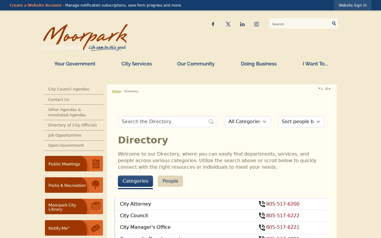
For permits or files not posted online, Moorpark's Public Records Requests page routes existing-record requests through NextRequest. City Hall, Planning, Building and Code Compliance also provide the appropriate phone or email channel.
State Lookups Do Not Map Moorpark Neighbors
Several official tools are useful for a narrow public-record question but do not create a block roster. Treat each result as a separate custody or status clue, and never infer a current Moorpark address from a name-only match.
The Ventura County Sheriff inmate information channel is the source for current county custody information.
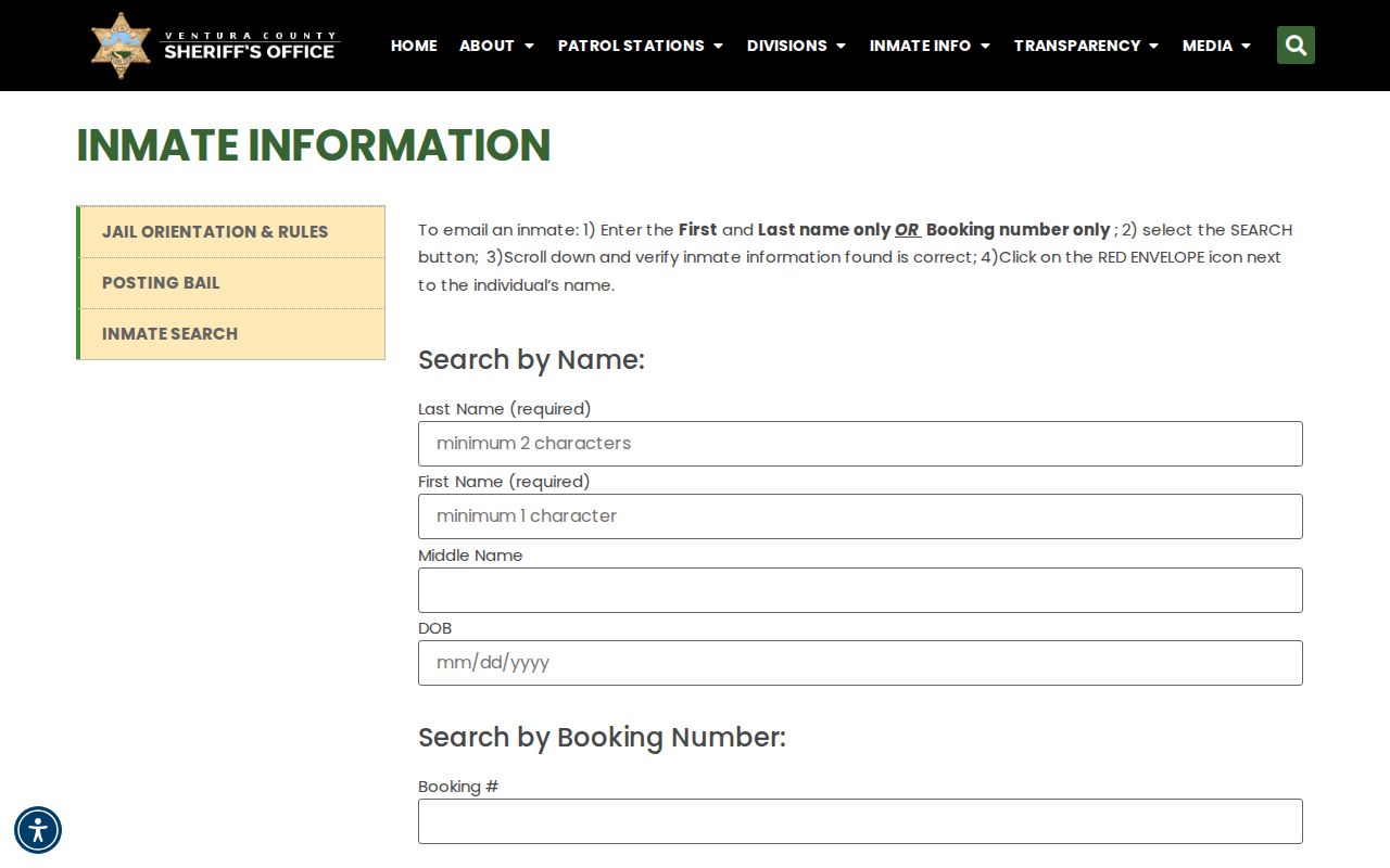
Booking or custody data is not a residence record and can change; a booking is not a conviction.
The California Megan's Law website offers a statutory name and map or radius search with display exclusions and a misuse warning.
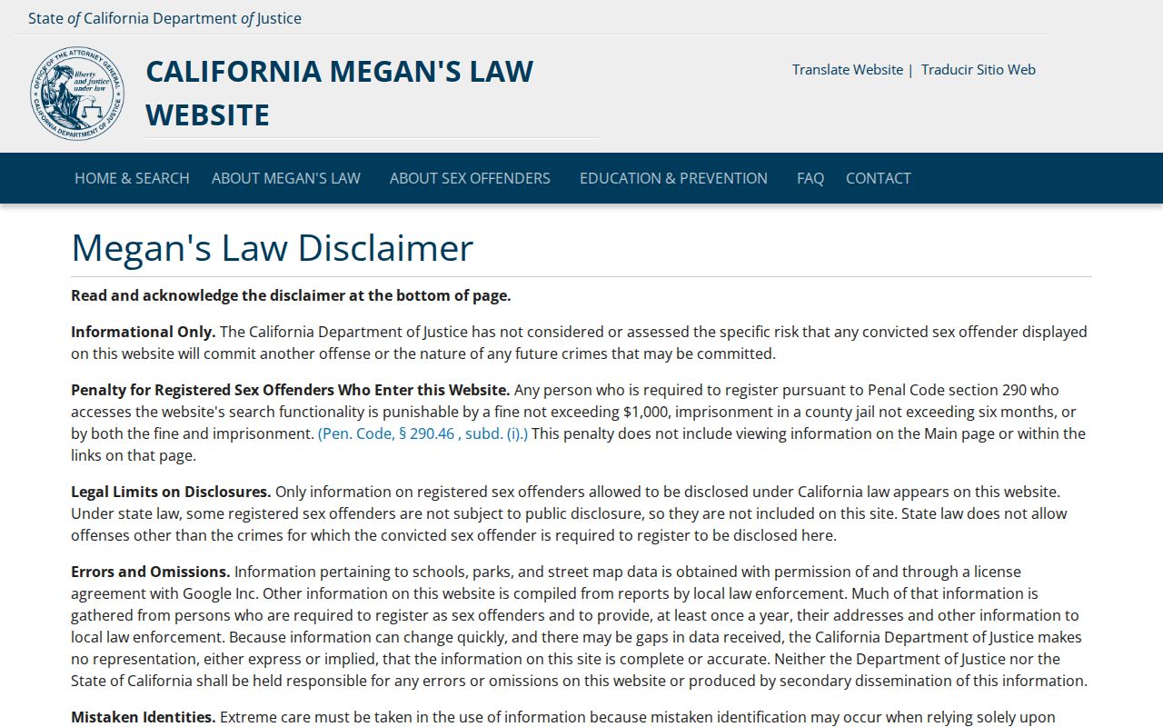
A registry result is limited to its statutory fields and is not proof that a person currently lives beside a target address.
The California State Controller unclaimed-property search uses a name and optional city clue while withholding exact street and private identifiers.
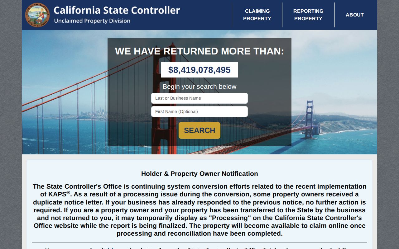
It can point to a claim route, but proof is required later and the index does not establish a neighbor relationship.
The CDCR Incarcerated Person Locator accepts a name or CDCR number and reports institutional or status information.
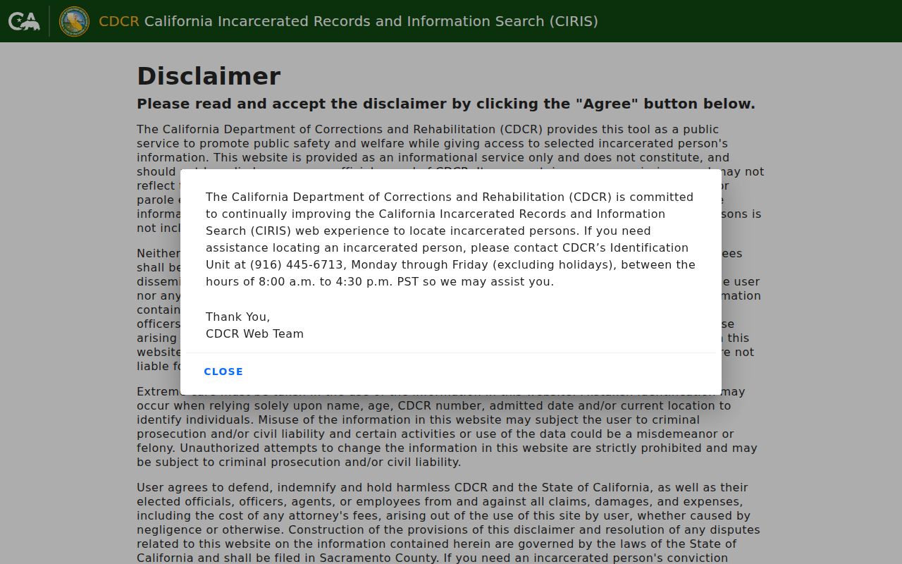
CDCR data is not a current home address and should not be folded into a parcel or block conclusion.
Moorpark Neighbor Tools: Official vs Commercial
Official and community sources differ from commercial neighbor-search products in both origin and control. A category comparison helps set the right expectation without naming or linking any private service.
| Category | Useful For | Limits |
|---|---|---|
| County parcel and Assessor records | Parcel identity, assessed owner display, situs, mailing clue, and land context | Suppression applies; owner is not every occupant |
| Recorder instruments | Recorded party roles, dates, document references, and legal descriptions | Index is not the document; cutoff and copies require custodian confirmation |
| Voluntary community directories | Published officers, local groups, and contacts | Private, incomplete, and dependent on what members choose to share |
| Commercial neighbor tools | Fast compiled name and address leads | May lag, merge identities, cost money, or lack a source record; verify elsewhere |
Privacy Limits on a Moorpark Neighbor Lookup
Household members, unlisted occupants, utility accounts, delivery data, DMV addresses, and library circulation records stay outside ordinary block searches. California Safe at Home provides a substitute mailing address and confidential forwarding for eligible survivors and reproductive-health workers or patients. A protected address may be absent for a lawful reason.
Use the Safe at Home program and the named custodian when a record is protected. Public availability does not authorize republication, repeated contact, or a search for a hidden address. Moorpark planning and records requests should ask for an identifiable existing file, not a private person's location.
Lawful use. Moorpark neighbor research is appropriate for learning about parcel context, civic contacts, community history, and personal safety awareness. Stalking, harassment, intimidation, and repeated unwanted contact are not lawful uses under California protections.
Note: Stop at the boundary between a public parcel fact and a private household detail, then verify the remaining question with the proper office.